Real-Time Monitoring on a 3D Printed Map
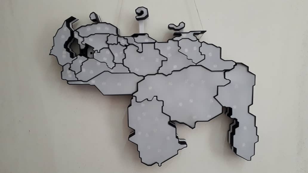
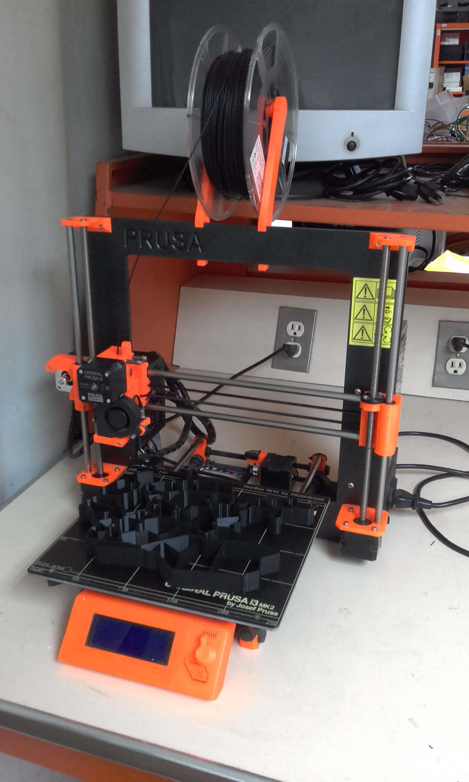
Geographical maps are commonly used to display information. Depending on the importance and complexity of the data, a visual representation can be very valuable. This project uses 3D Printing to assemble a display screen with the shape of the map.
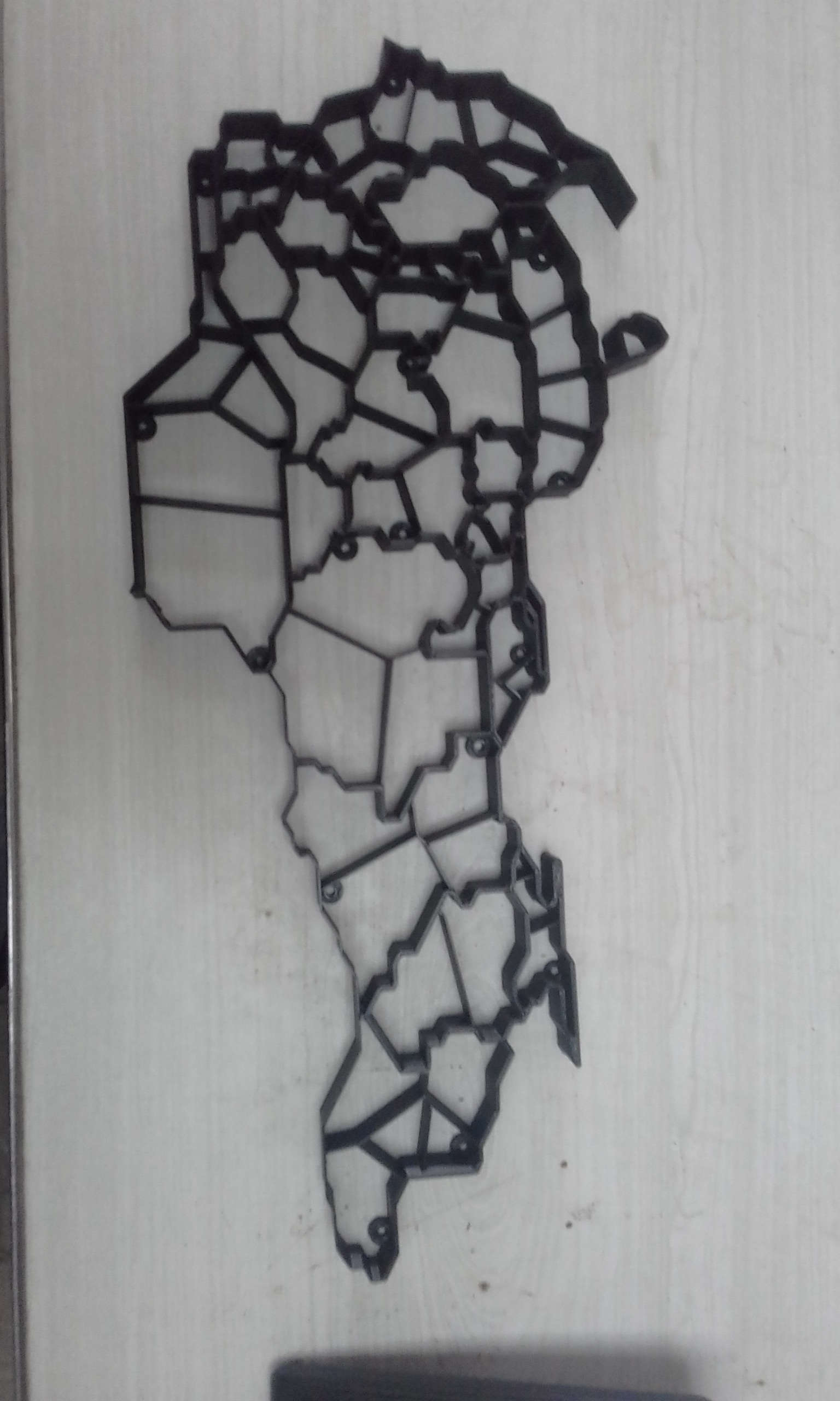
A modular approach was used to design different parts of the map. Each state in the map is easily identifiable, and has at least one led asigned to it that can change it's color independently.
.jpeg)
The map contains 99 individual RGB NeoPixels from Adafruit distributed in all the map.
The distribution can change depending on the visual alert that is required. The light from neighbor leds was separated to avoid interference. That creates a limit on how much closer they canbe together.
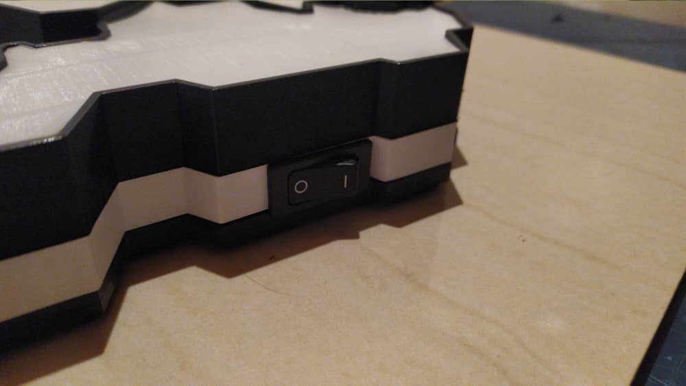
The map contains a Raspberry Pi 3B that works as a server to which other applications can connect via Ethernet or LAN to stablish the desired color for each led. Inside the map there are all the connections between the leds and the support circuits, including the Raspberry Pi, except for the AC-DC charger.

Posted In:
3D Printing